300 mb Plot
 Tweet
Tweet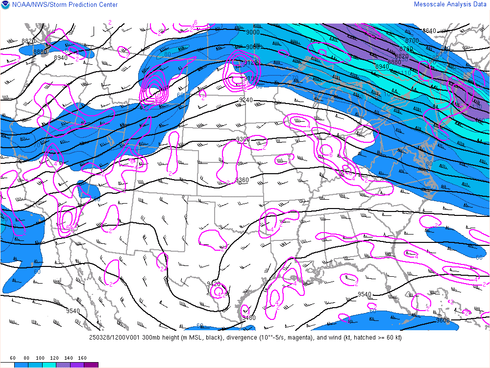
The 300 millibar (mb) map plots a variety of information collected by weather balloons and represents atmospheric conditions at an altitude of approximately 9300 meters (30,000 feet). The map displays 300 mb height, divergence, and wind. For more details, visit the NWS Storm Prediction Center's Mesoscale Analysis website.
This map is updated each hour.